The geometry started by this inauspicious side issue of coastlines. Again, initially, I picked it because nobody in my environment was concerned, nobody had advanced ideas, which would interfere with their acceptance, and also I must say because my father was a map nut. As a child I learned how to read maps before I could read and write. That also must have had an influence. But after this success with the general idea of coastlines, after the success with the general idea of the traces of river discharges, I became bolder, and we thought of creating, constructing random coastlines from a simple formula and then random landscapes from a simple formula. That was a very laborious project because computer graphics didn't exist. We no longer used the Calcomp; we had to use other procedures. I could speak at great length about them, but first of all let me answer your question rather rapidly. After we had these maps I was going around and asking people, "What do you think that is?", and some people said, "Well, that's New Zealand. In fact, the two islands- more or less like New Zealand." Then you had different scenes, "That's like Australia." That is, people had an immediate contact with these totally abstract doodlings. After we went on to landscapes, that was very laborious because, again, computer graphics didn't exist. There was a program that somebody had written, which was very important and in which a surface we had computed could be put on a laboratory cathode ray tube and then photographed of course. So I photographed that. Now, I went round asking; "What does it look like to you?" First of all most people didn't know anything about it and I didn't have much feeling for it. So it occurred to me that I was barking up the wrong tree because I was having landscapes without a reference. So we put everything to zero sort of half way through, as an ocean and island landscape. Everybody instantly remembered that and said, "That reminds me of my trip; there was this island, there was this cape and little islands in the sea," etc., etc. These very crude pictures, which were totally heroic in terms of their production took enormous effort and were at the very end of technology that anybody could then do. They had an immediate response from so many people who did not know that they were sensing the pictures more than numbers. And to me this was totally overwhelming. So I became - I felt suddenly, in I would say around '71, '72, I felt back home. I was in shapes, not in numbers. I could speak of a chart of prices as a picture, not as a graph of function. The emphasis was on the picture and not on the function. Then the question occurred: can we extrapolate from what we have been studying to other phenomena? And much of the extrapolation was done almost spontaneously, because again I was carrying these pictures around people would just guess something different from these pictures. They started again to have their visual powers where it could help them and realise that ultimately, even though some were paying lip service to purely algebraic expressions, ultimately they were thinking in terms of pictures also. Not all of them, but many. And this became very very strong.
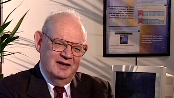
Benoît Mandelbrot (1924-2010) discovered his ability to think about mathematics in images while working with the French Resistance during the Second World War, and is famous for his work on fractal geometry - the maths of the shapes found in nature.
Title: Geometry; coming home to pictures
Listeners:
Daniel Zajdenweber
Bernard Sapoval
Daniel Zajdenweber is a Professor at the College of Economics, University of Paris.
Bernard Sapoval is Research Director at C.N.R.S. Since 1983 his work has focused on the physics of fractals and irregular systems and structures and properties in general. The main themes are the fractal structure of diffusion fronts, the concept of percolation in a gradient, random walks in a probability gradient as a method to calculate the threshold of percolation in two dimensions, the concept of intercalation and invasion noise, observed, for example, in the absorbance of a liquid in a porous substance, prediction of the fractal dimension of certain corrosion figures, the possibility of increasing sharpness in fuzzy images by a numerical analysis using the concept of percolation in a gradient, calculation of the way a fractal model will respond to external stimulus and the correspondence between the electrochemical response of an irregular electrode and the absorbance of a membrane of the same geometry.
Duration:
4 minutes, 14 seconds
Date story recorded:
May 1998
Date story went live:
24 January 2008


