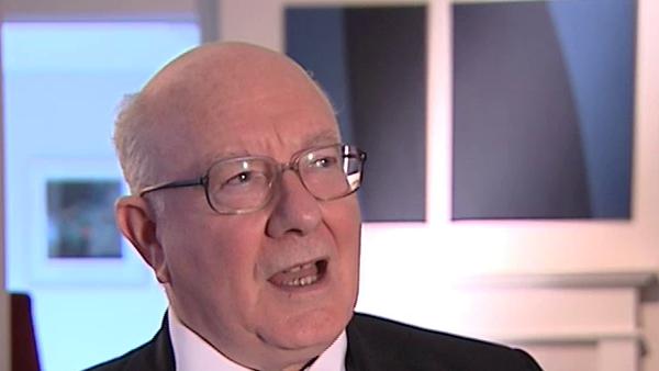
Well, I think the computers now offer us the possibility, or those who are very competent in them, the possibility of ordering our data in a phenomenal way and the satellite imagery is going to make it possible to recognise many more sites and then ground truthing, do perhaps sometimes quite a limited amount of work on the ground to give this information and then sight survey, we haven't really spoken about site survey walking sites and getting information. We're getting so much more in the way of data there, from site survey and good excavation and satellite imagery and then we're getting very competent or those who are competent, I'm not necessarily one of them, getting very competent at handling the data, but I don't think anybody knows what to do with it. The point I've just been making about how people don't compare. I've not seen a serious comparison of Mesoamerica with Mesopotamia since Bob Adam's book which was just offering an outline. Now it's true actually that one piece of work I got involved in, arising from the early state module idea, that you have different centres, I was thinking about how one is able to, if you have an archaeological map of where you have a lot of different sites of different sizes which you have dated, and how you can reconstruct the political landscape, if you've got the distribution of population. And in that book, "Mathematical Approaches to Culture Change", published, I think 1979, a long time ago, published some very interesting work which I did with somebody who was then a research student, Eric Level and we developed a, a computer programme whereby if you started with the centre and you imagined a sort of bell tent arrangement and if a settlement out here, began to protrude above the bell tent. Maybe it was independent. If it was inside the bell tent, it was in the sphere of influence of the original centre. But then it became interesting, if you make the bell tent steeper or less steep, it changes the political configuration. Well, I think they're really very interesting ideas there and I suspect that in spatial archaeological geography, there is much more that could be done, certainly you then say, well, are we losing context? Well, yes of course you are, you have to think in terms of what the means of transport was and what the military means were to bring places within the sphere of influence or were they that militaristic or not. There are many questions to be, to be asked. But I think unless people start to formulate models, of some generality and then ask themselves, okay this is too general, this isn't allowing for the specifics in this case. What were the specifics and how do we understand that? I think it's not going to work. I fully see that if you get too caught in the comparisons, you lose the holistic truth of the particular civilisation or culture. You've got to know, it fails to be holistic, you fail to see that the religion and the sense of identity how gender is constructed in this culture impacts on these other matters and in the way that culture can grow and change or decline. So one has to be able to take account of that, but I think if it's just one culture at a time, it's not going to tell us very much. So I think, you're right, there's a huge amount of new data becoming available but unless we can find a way to make data from one place articulate in some sense with data from another place, it's not being put to very good use.
Baron Renfrew of Kaimsthorn is a British archaeologist known for his work on the dispersal of the Proto-Indo-Europeans and the prehistory of PIE languages. He has been Disney Professor of Archaeology at Cambridge as well as Master of Jesus College and Director of the McDonald Institute for Archaeological Research.
Title: The effect of modern technology on archaeology and dealing with data
Listeners:
Paul Bahn
Paul Bahn studied archaeology at Cambridge where he did his doctoral thesis on the prehistory of the French Pyrenees. He is now Britain's foremost specialist on Ice Age art and on Easter Island, and led the team which discovered Britain's first Ice Age cave art at Creswell Crags, Nottinghamshire, in 2003. He has authored and edited numerous books, including Journey Through the Ice Age, The Enigmas of Easter Island, Mammoths, The Cambridge Illustrated History of Prehistoric Art, and, with Colin Renfrew, Archaeology: Theories, Methods and Practice which was published in its 5th edition in 2008.
Duration:
4 minutes, 19 seconds
Date story recorded:
January 2008
Date story went live:
14 May 2009


